Web Uploader is live
Walk, capture, and
map your city
Join our global community of mappers improving walkability, sustainability and accessibility, one image at a time. No app to install.
Automatic face & plate blurring
GPS verified
Open CC BY-SA
How it works
From a walk to the map in four steps
{{ s.n }}
{{ s.title }}
{{ s.body }}
What you need
Any camera with GPS will do
A 360° camera gives the richest captures, but a mobile phone works too. The Web Uploader handles the rest, privacy blurring, positioning, and publishing.
Read the full capture guide →{{ g.tag }}
{{ g.title }}
{{ g.body }}
The complete guide
Everything about capturing & uploading
Recommended camera settings for 360° and phone captures, why we need interval photos rather than video, and how to record a GPS track so every photo lands in the right place.
Open the guide →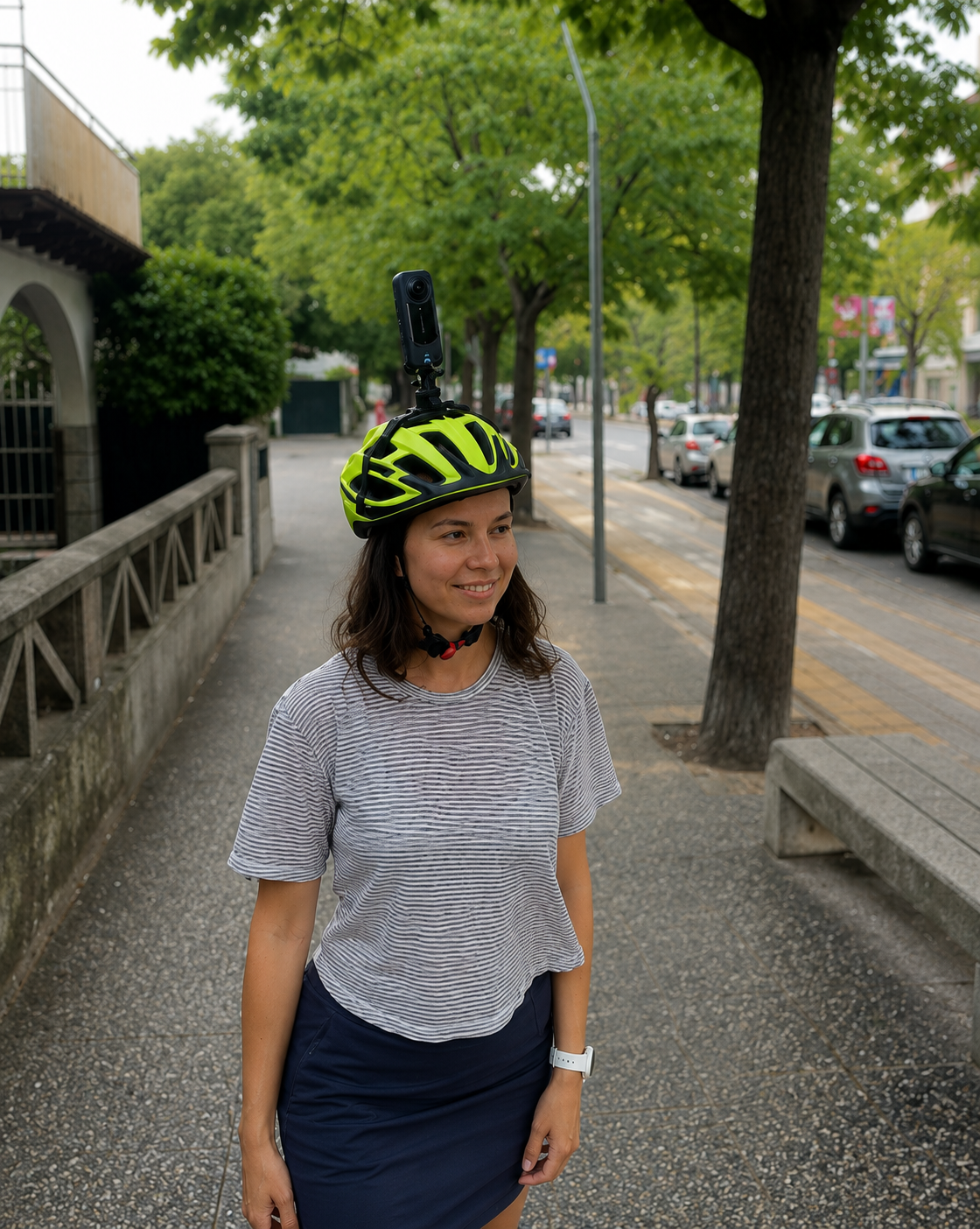
Why mappers contribute
Your captures stay open. They power accessible routing, fill gaps in OpenStreetMap, and give your community better maps.
{{ w.title }}
{{ w.body }}
Ready for your first capture?
Open the Web Uploader in your browser and start contributing in minutes.
Open the Web Uploader ↗